DGPS Drone Training
What is DGPS Drone Training?
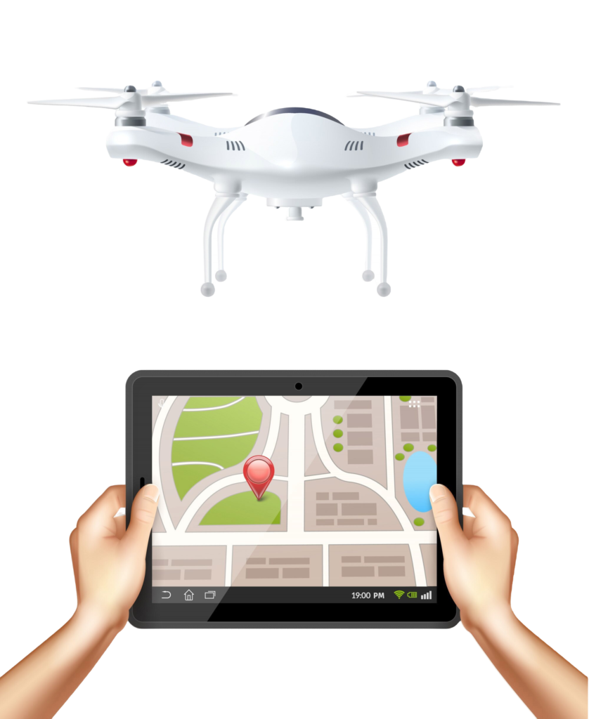
DGPS (Differential Global Positioning System) enhances the accuracy of GPS signals by reducing errors from standard satellite navigation. When integrated into drones, DGPS enables precise aerial measurements for tasks like land surveying, mapping, and crop monitoring. Our training provides you with the knowledge and skills to effectively utilize DGPS technology in drone operations.
Why Choose Our DGPS Drone Training?
- Cutting-Edge Technology
- Comprehensive Curriculum
- Practical Hands-On Training
- Expert Instructors
- Industry Applications
Who Should Enroll?
- Our DGPS Drone Training is ideal for:
- Surveyors
- Agronomists & Farmers
- Construction & Engineering Professionals
- Environmentalists
Training Highlights
- DGPS Overview
- Drone Setup & Calibration
- Flight Operations
- Data Processing
- Safety Protocols


Join us in shaping the skies of the future


Join our DGPS Drone Training program and start flying with precision! Whether you’re looking to enhance your skills for surveying, mapping, or any other geospatial application, this training will equip you with the expertise to succeed in the field.
Enroll today and unlock the full potential of DGPS-equipped drones for your professional needs!

